Navigate through maps and learn about past and present migration stories.
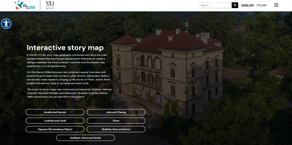
Storytelling on maps. In the SO-CLOSE story map geography is the main narrative thread that links past and present. The tool enhances the project’s aim to create a dialogue between the local societies’ memories and the present-day experiences of forced displacements.
The story map will allow to explore past and present in a comparative way: memory sites, migration routes and stories will be mapped and illustrated with multimedia resources and contextual descriptions, along with testimonies and narratives of different chronological moments.
The tool will integrate web-maps to showcase locations, itineraries and connections between areas. There will be different “stops” along the story map, focusing on specific points of interest, sites, or stories. Each stop will count with narrative modules referring to the past or the present. These modules are the main ingredients of the past and present connection and they will integrate descriptive text, as videos, audios, images and links.
The journey is the main driver, linking past and present narratives. The tool enhances the project’s aim to create a dialogue between the welcoming societies’ memories and the present-day experiences of forced displacements.
The tool offers:
✅ Journeys with customizable itineraries
✅ Political and geographical map
✅ Image juxtaposition and 360o immersive images and videos integration.
Cultural institutions, educational centres, citizens initiatives and Memory sites as historical parks, monuments networks or historical routes programmes using the tool will be able to shape narratives that are based on geography and that include nowadays forced displacements stories as part of a shared cultural heritage.